Second United Nations Geospatial Information World Congress.
posted by admin
IIC Technologies turned up in strength to participate in the Second Geospatial Information World Congress in Hyderabad, India 10-14 October 2022.
14Oct, 22

posted by admin
IIC Technologies turned up in strength to participate in the Second Geospatial Information World Congress in Hyderabad, India 10-14 October 2022.
posted by admin
Putting hydrographic theory into practice
By jnally on 4 October, 2022 Spatial Source Magazine
posted by admin
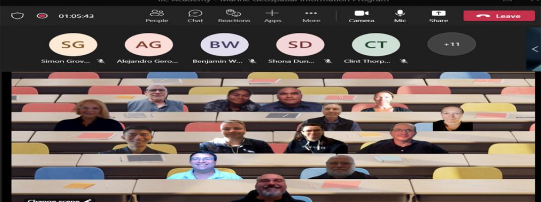
IIC Technologies was very pleased to commence the IIC Academy S-8B Marine Geospatial Information Program yesterday, with students participating from Australia, New Zealand and Fiji.
posted by admin
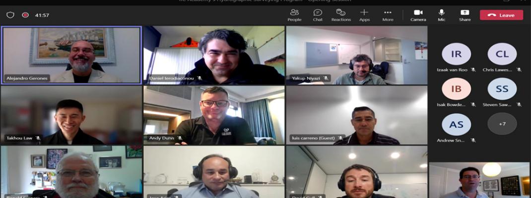
It has begun! After much build-up the 2022-23 IIC Academy S-5B Hydrographic Surveyor Program kicked off with its opening ceremony yesterday.
f62e.png?h=9624e4e4&itok=SVsfzJMB)
posted by admin
Government of India launched an Integrated Ganga Conservation Mission called “Namami Gange” aiming on abatement of pollution together with cleaning of Ghats, regulatory control of Industrial pollution and online monitoring of pollution in the river, besides afforestation and biodiversity conservation.
posted by admin
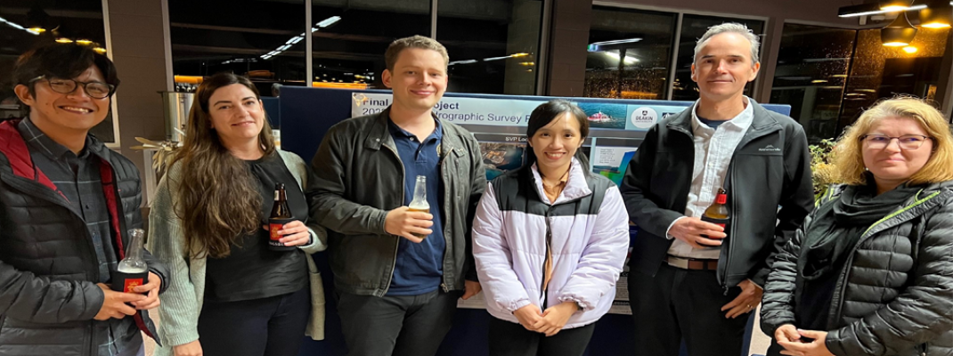
The ability for Pacific Island nations such as Samoa to undertake planning and to build resilience against the anticipated impact from sea level rise, storm surge and heightened weather patterns is often limited by the availability of accurate data and the means to generate value from it.
posted by admin
Crowdsourcing Technology Enables New Type of Data for Marine Weather and Navigation

posted by admin
IIC Technologies has been privileged to provide geospatial support to the Australian Government for many years and look forward to continuing this support under the Geospatial Goods and Services Standing Offer Panel (GeoPanel) announced by the Australian Government today.
posted by admin
The IIC Academy team were very pleased to graduate the 2021-22 S-5B Hydrographic Surveyors Program students on 09 June 2022. The students worked hard to achieve their success and deserved their great results.
posted by admin
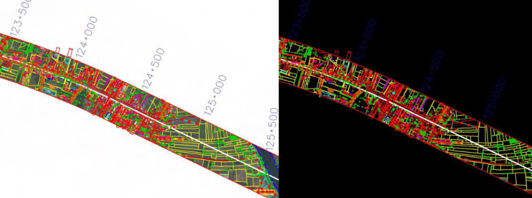
IIC Technologies have executed Aerial LiDAR Survey for the Mumbai-Hyderabad High Speed Rail project which connect Mumbai, Pune, and Hyderabad through 11 stations in Maharashtra and Telangana covering 736 Km.