
IIC Technologies solutions certified as OGC compliant
posted in development by admin
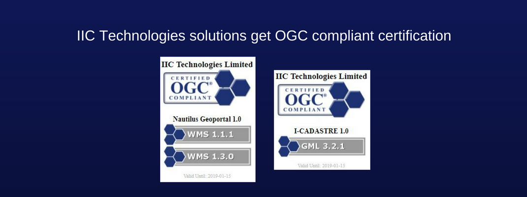
IIC Technologies is pleased to announce that two of our solutions (I-Cadastre and Nautilus Geoportal) developed by Innovation Center (software solutions division) have been certified as OGC compliant.
I- Cadastre, a cadastral mapping software is a desktop application for capture and management of survey data and associated land records. The toolset covers all aspects of cadastral data management processes, from ingestion of raw survey data (topographic and aerial) through to the production of Land Parcel Maps. The application allows the end-users to create, view, query, and analyze the spatial data, and generate user-defined maps and reports. This can be achieved by uploading boundary data and land details collected by surveyors in the field when they connect to the main system. The system permits for upload of structured datasets from the filed along with relevant imagery and historical records. Information is then used by operators in the office to reconcile, validate and generate specialized Land Parcel Maps for verification and entry into land registers. The platform supports a variety of file formats, including: DXF, SHP, GML, and GeoTIFF.
Nautilus Geoportal, an enterprise-grade geospatial data sharing and content management platform capable of proficiently supporting a variety of operational and strategic end-users’ requirements. Developed in line with all modern industry best practices, properly factoring in high availability, load balancing, security, disaster recovery and other provisions it ensures top operational performance required for large implementations. It is based on a suite of Open Source components which provide a robust functionality needed to access and manage all data holdings while also providing the support needed to develop a full-featured web application, including demographic, economic, social and physical infrastructure data layers.
The purpose of the OGC Compliance Program is to increase system interoperability while reducing technology risks. Vendors gain confidence that they are providing a product compliant with OGC standards, which will be easier to integrate and easier to market. Buyers gain confidence that a compliant product will work with another compliant product based on the same OGC standard, regardless of which company developed the product.
IIC Technologies is a CMMI level 3 rated, ISO 27001, ISO 20000-1 and ISO 9001 accredited provider of geospatial solutions and services for the acquisition, management, integration and dissemination of geospatial data.