
IIC Technologies has developed an innovative study of pedestrian mobility in Alcala de Henares, a UNESCO World Heritage city of Madrid metropolitan area
posted in development by admin
For many decades, society has poured enormous amounts of effort into the design of all forms of motorized transportation modes in urban environments. Although we are seeing the spotlight and investment shift towards greener and more sustainable modes, pedestrian amenities or infrastructure, are still often an after-thought. Only now are the more progressive organisations giving it the attention it needs, attention which is arguably long overdue.
IIC Technologies in association with Alcala de Henares City Council developed a study on pedestrian mobility in Alcala de Henares, a UNESCO World Heritage site of Madrid metropolitan area (Spain). IIC Technologies study demonstrates how the use of GIS tools and the exploitation of available geospatial data can support strategic public spending decisions in this area.
There is concern that the city has become fractured by the railway lines and superhighways, isolating certain neighbourhoods. The council’s ambition is to improve connectivity between city areas whilst reducing car dependency and promoting more environmentally responsible transport modes.
IIC Technologies supported the council’s first step towards realising this ambition by building a digital picture of the current pedestrian situation in Alcalá de Henares to identify the potential problem areas. Using freely available geospatial data and GIS tools the proximity between residencies, amenities and workplaces, connectivity between different modes of public transport, land mix use and population density were described, studied and measured.
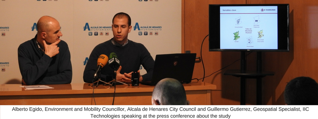
Emphasizing on the importance of the study, Alberto Egido, Environment and Mobility Councillor, Alcala de Henares City Counicl, said "This study is tremendously useful for determining the measures and lines of action to face the challenges of the pedestrian mobility in our city. It is vital to change our mindset and to promote more efficient, equitable and sustainable transport modes.”
Talking about how geospatial technologies can contribute towards planning of sustainable future cities, Guillermo Gutierrez, Geospatial Specialist, IIC Technologies said “The implementation of innovative studies with Geospatial Technology bring the Council closer to their aims of becoming a more sustainable and integrated smart city. The results of this analytical process demonstrates how geospatial analysis is impacting the shape and flow of our towns and cities.”