
IIC Support Pacific Community LiDAR Data QA, QC and Training
posted in development by admin
Global warming and climate change effects and concerns us all. However, the impact on many Pacific Island nations from sea level rise, storm surge and heightened weather patterns is significant. To assist in meeting these challenges the Pacific Community (SPC), with funding from the World Bank, is conducting a series of surveys that combine Topographic and Bathymetric LiDAR data capture. These surveys use laser sensors on airborne platforms to capture high precision 3D positions over land and sea.
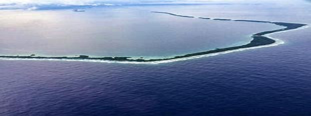
The Republic of Marshall Islands (RMI) face one of the most serious threats from climate change through flood inundation. This beautiful and remote nation of over 29 coral atolls is home to around 58,500 people, however has a maximum elevation of 10m. RMI will be able to utilise the SPC LiDAR data to accurately monitor change and plan infrastructure to combat the effects of climate change. Other Nations that are programmed to benefit this initial project are Tonga, Samoa and Vanuatu.
IIC Technologies are proud to be undertaking the QA and QC of all data in this Project, ensuring it is fit for use by the nations. Further, IIC look forward to providing tailored training to allow these nations to utilise the data to its maximum benefit.