
IIC Support to Land Information New Zealand Safety of Navigation Efforts
posted in development by admin
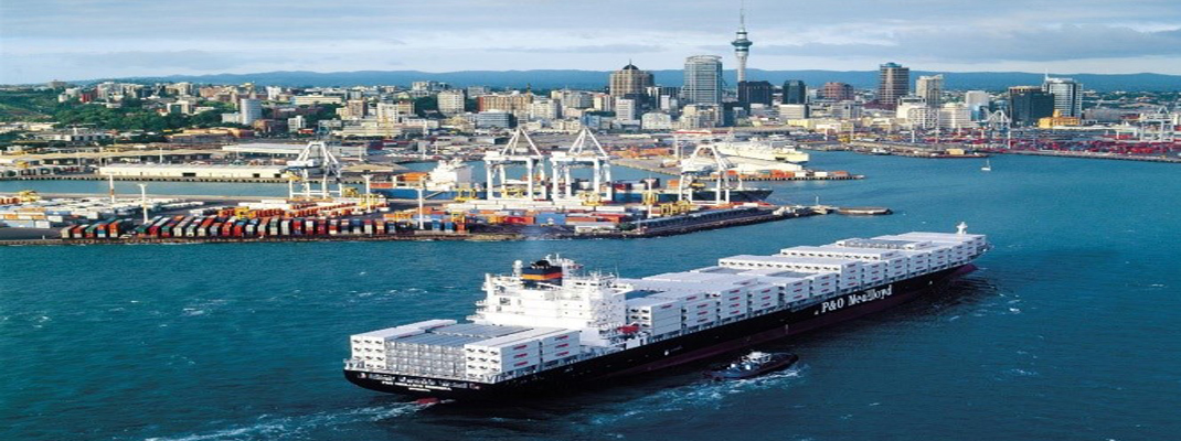
The provision of safe navigation routes is fundamental to New Zealand’s trade and is the logistical backbone of our economy. In 2019 99% of NZ’s trade was transported by sea. This dependency is often overlooked, but is also fundamental for NZ's aqua-culture, fisheries, tourism, recreational boating and future economic opportunities. Ultimately, without safe navigation routes there is no seaborne trade; without seaborne trade there is no economy.
Land Information New Zealand (LINZ) is NZ's National Hydrographic Authority and is responsible for the provision of charting, publications and services to support safe navigation. LINZ is internationally recognized as being forward-leaning and early adopters of technology and methodologies to improve services and safety for their users. As well as contributing to international working groups, LINZ policy and activity regularly sets the standards for the global hydrographic community.
IIC Technologies have supported LINZ in this work for over 10 years, and are pleased to be working once again on the LINZ Outsourced Chart Production program. IIC provide similar charting and R&D services to over two dozen Hydrographic Authorities including several, such as AHO, UKHO, NOAA and SHOM, whose services support our Pacific Island partners.